
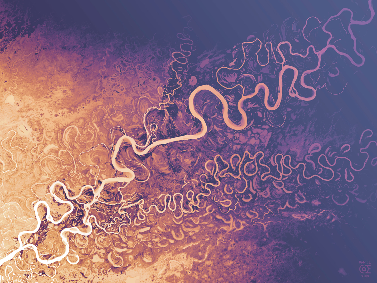
Porcupine River and Draanjik River—as featured in Nature. Download the full-size image here.
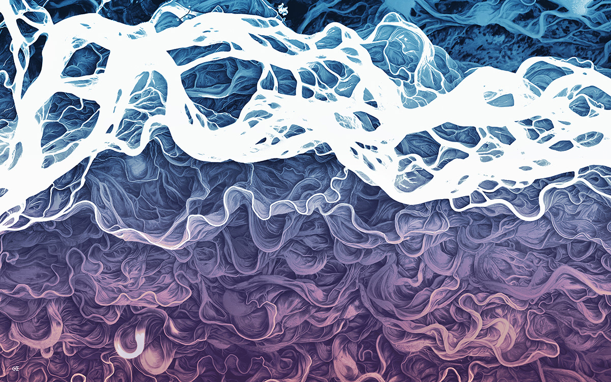
Yukon Flats—download the full-size version here.
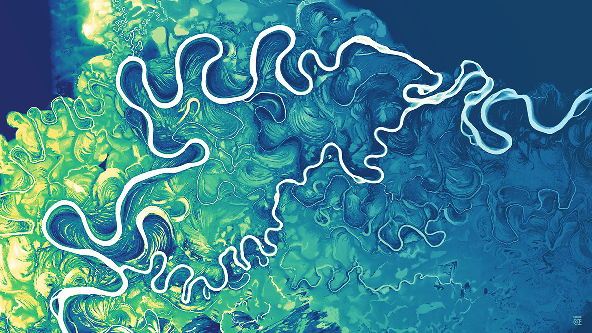
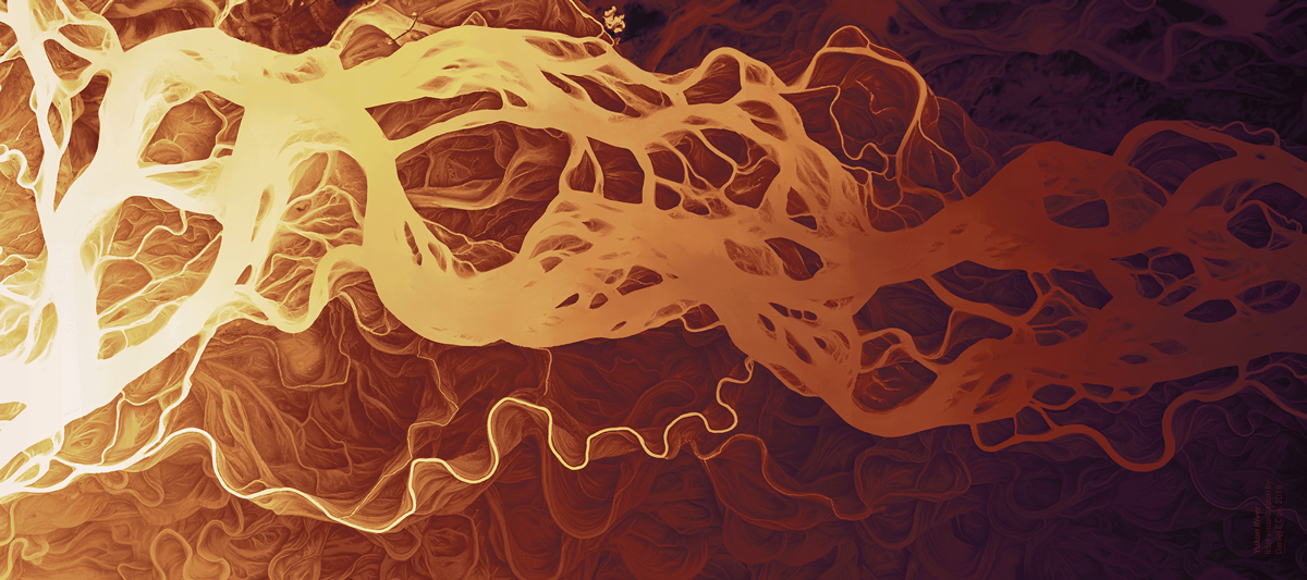
Koyukuk River—download the full-size version here.
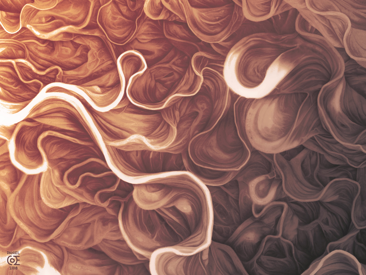
Yukon River Floodplain—download the full-size image here.
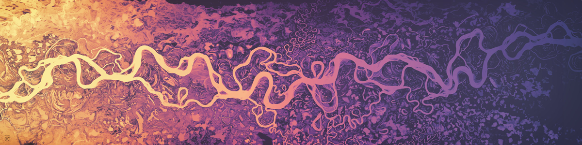
Yukon River—download the full-size image here.
Susitna River—download the full-size image here.
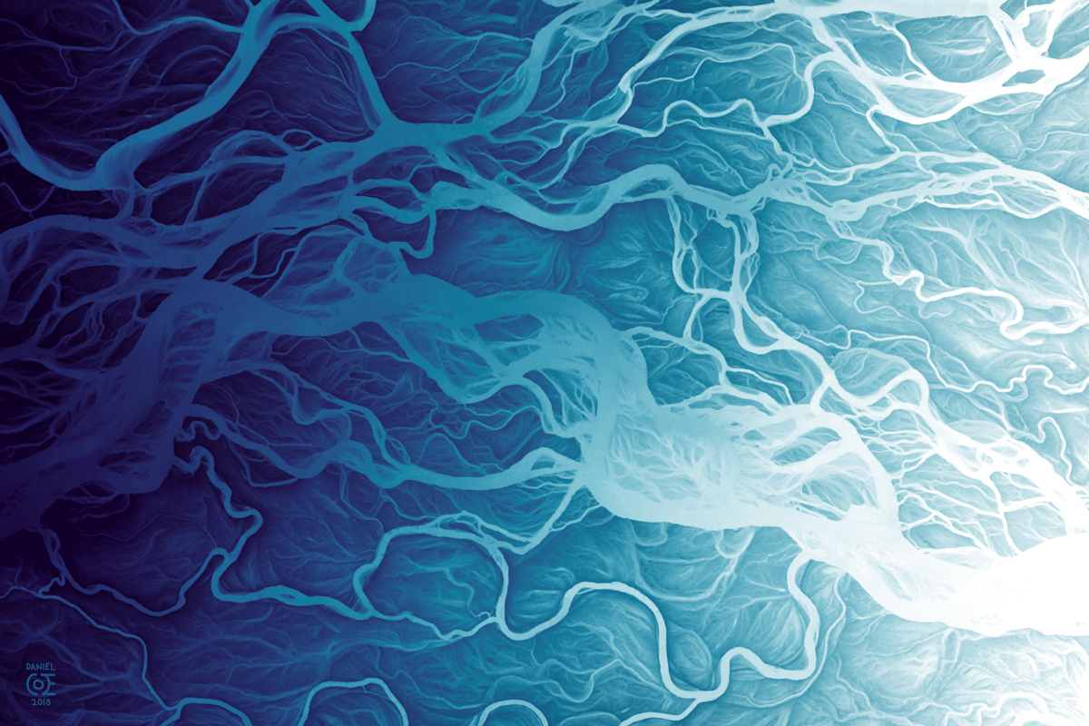
Yukon River—download the full-size image here.

Yukon River Delta—download the full-size image here.
Tidal channels along Cook Inlet—download the full-size image here.
Original data from the Alaska DGGS Elevation Portal.