
Selected Presentation List
IAFI 2025—Mapping the Glacial Legacy of the PNW
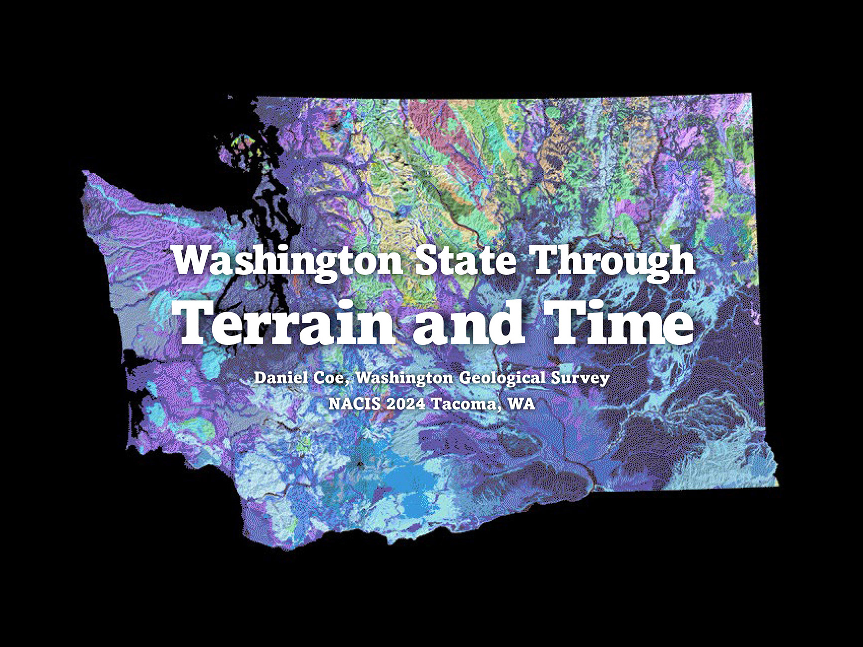
NACIS 2024—Washington State Through Terrain and Time
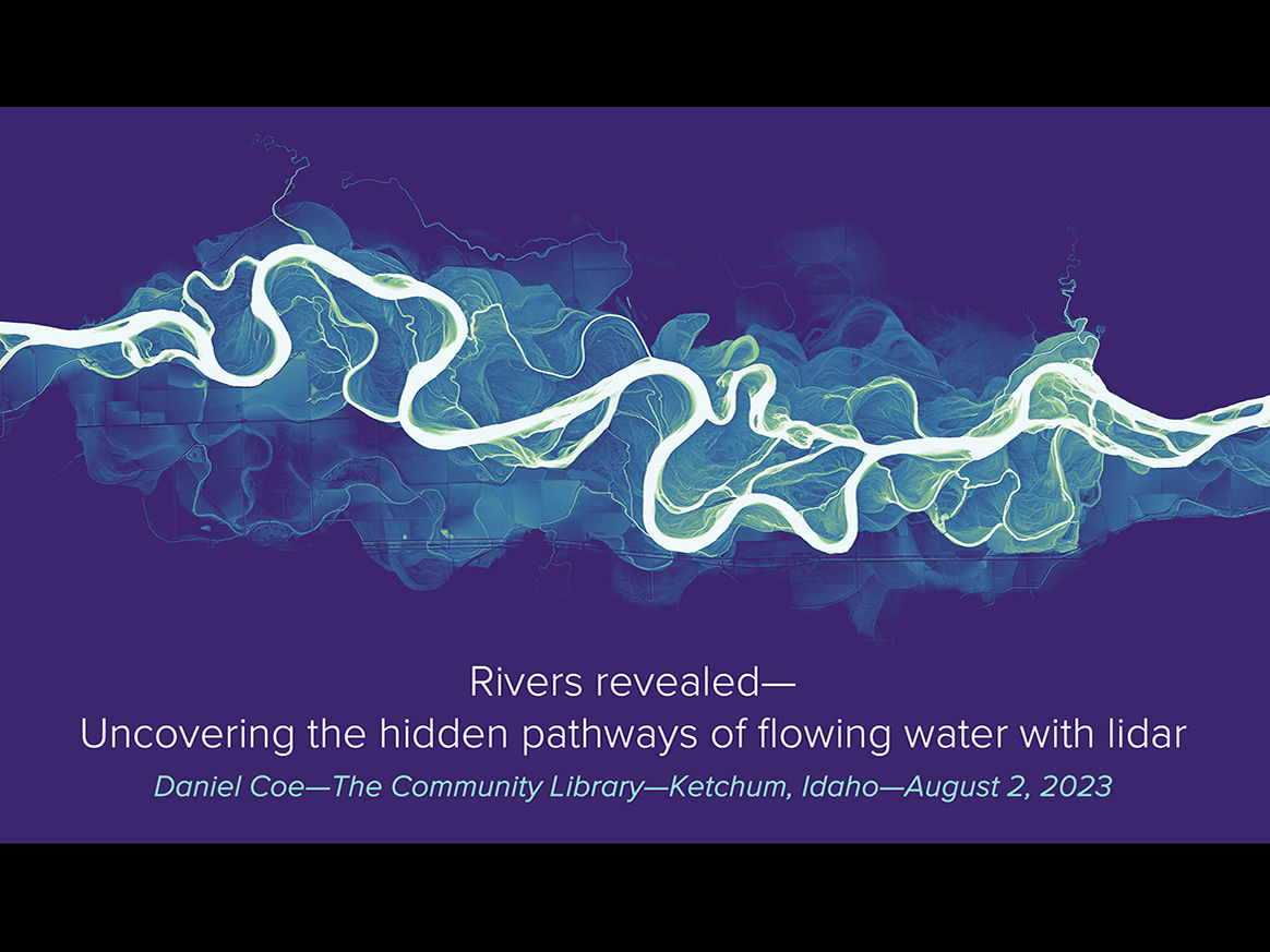
The Community Library 2023—Rivers Revealed
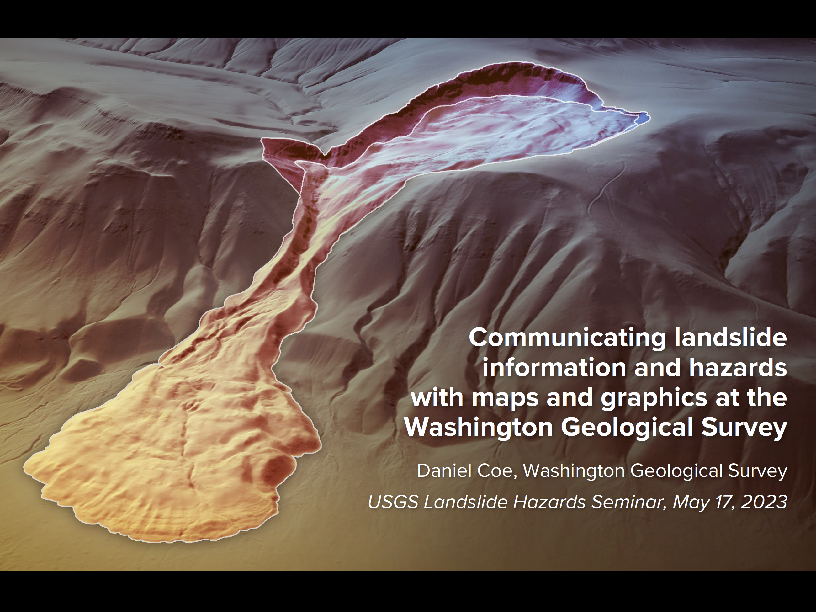
USGS 2023—Communicating landslide info and hazards
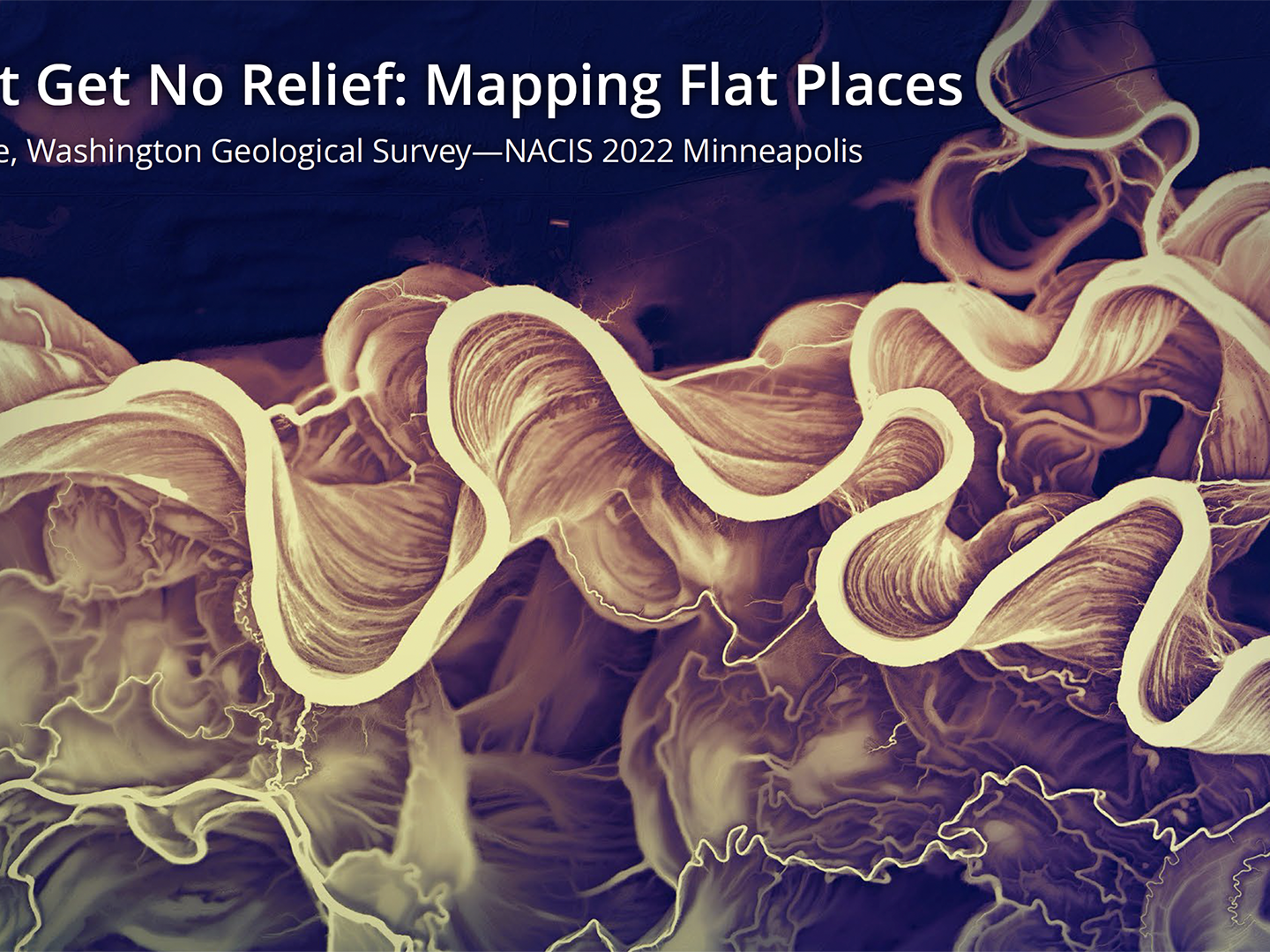
NACIS 2022—I Can't Get No Relief—Mapping Flat Places
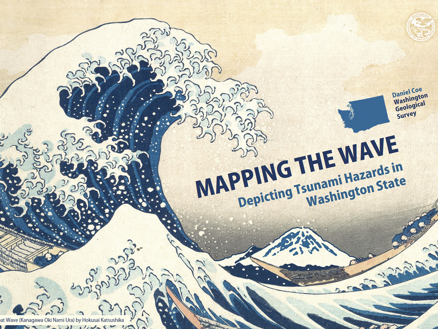
NACIS 2019—Mapping the Wave—Tsunami Hazards in WA