

Lidar-derived image of the Mississippi River along the border of Arkansas and Mississippi, southwest of Memphis, Tennessee.

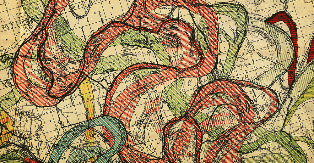
Same area from Fisk's ACOE maps


Lidar digital elevation model image of Mississippi River meander scars in Tensas Parish, Louisiana. Tensas Parish is the least populated parish in Louisiana with a population of a ittle over 5,000 people.
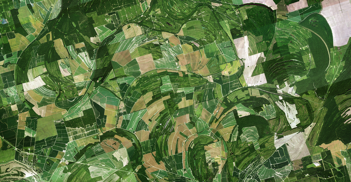
Aerial photo of the same area
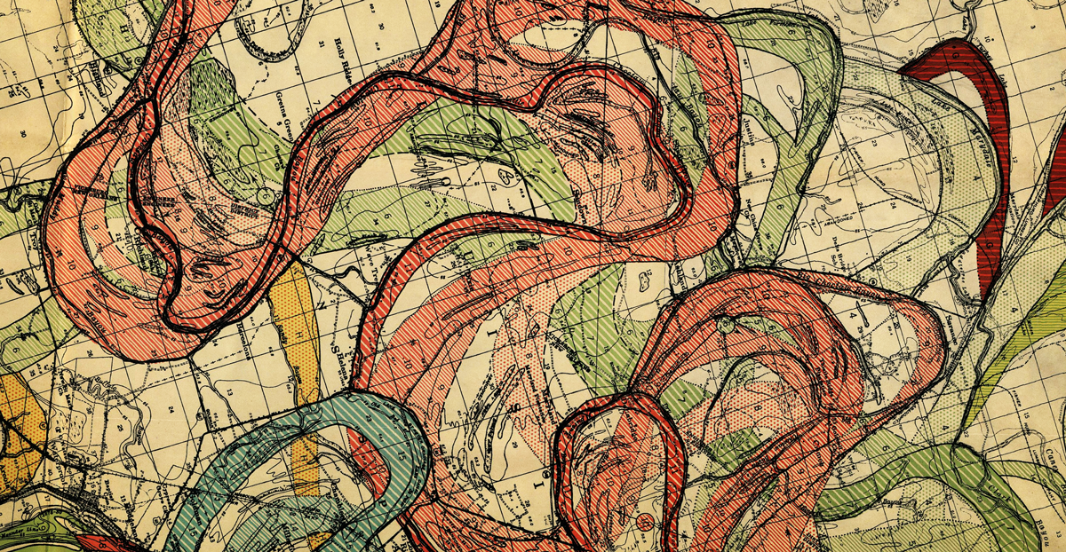
Same area from Fisk's ACOE maps
Original lidar data from The National Map (USGS).