
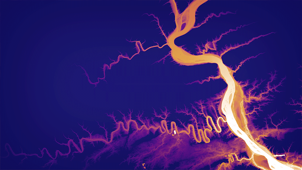
Lidar-derived image showing the lower elevations along the Susquehanna River
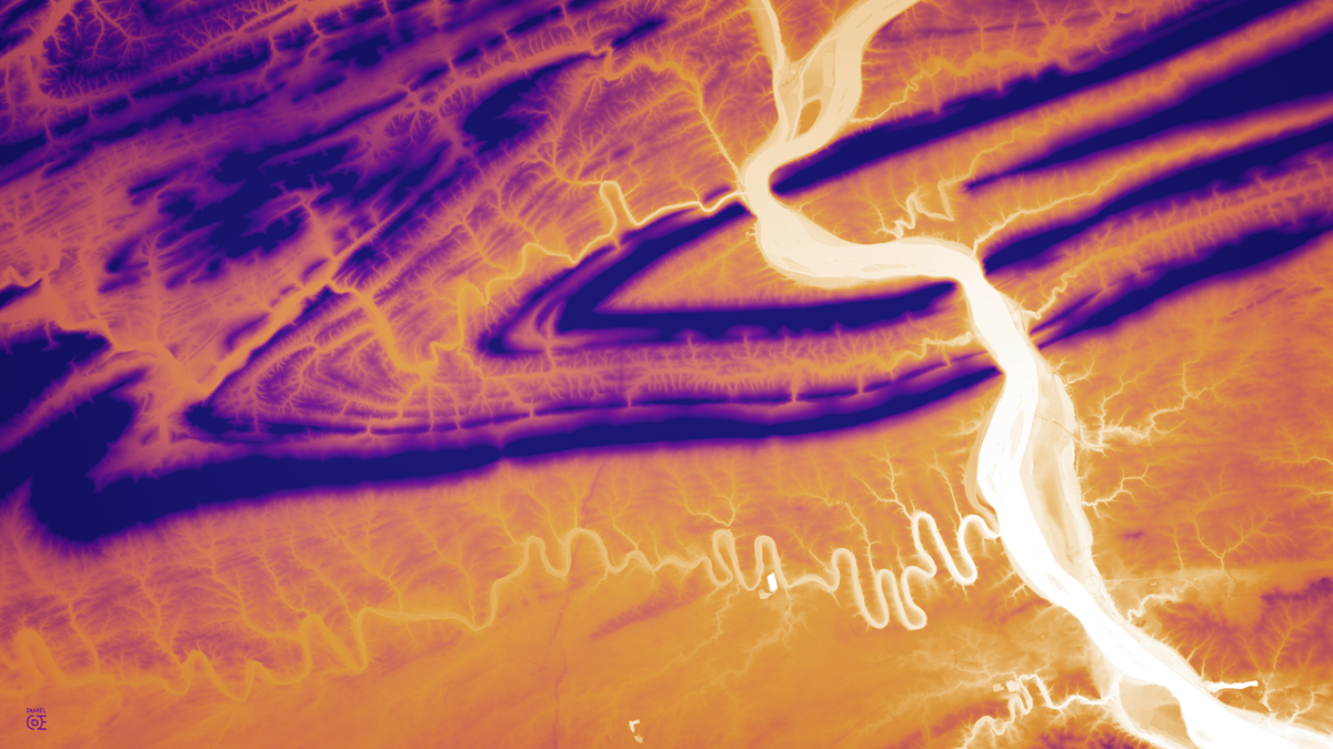
Lidar-derived image showing the higher elevations along the Susquehanna River
Original lidar data from The National Map (USGS).

Lidar images and animation of the Susquehanna River water gaps, featuring geologic folds and channels of the Appalachian Mountains near Harrisburg, Pennsylvania.
Lidar-derived image showing the lower elevations along the Susquehanna River
Lidar-derived image showing the higher elevations along the Susquehanna River