![](https://cdn.myportfolio.com/44b8374c-5758-4aa0-b67e-1a860c4711e6/0f8e6f15-f5ee-427b-b425-136cc6b04279_rw_1200.png?h=2b3088c1422e2e6a7ea52be4d797b7f6)
A map of the neighborhood around the restaurant. The photos in the map were taken on same block that they are displayed on in the map.
![](https://cdn.myportfolio.com/44b8374c-5758-4aa0-b67e-1a860c4711e6/2a37c0f4-c083-4cb6-9f1d-795425121f7f_rw_1200.png?h=4ad96e7c64618cd66487970b7a425a7e)
![](https://cdn.myportfolio.com/44b8374c-5758-4aa0-b67e-1a860c4711e6/e3bd359f-ab3b-41fd-ae8a-757644f4e5a1_rw_1200.png?h=fd2f353408aa7a81ae004b2fe932dae6)
![](https://cdn.myportfolio.com/44b8374c-5758-4aa0-b67e-1a860c4711e6/0c134451-d8b2-4f87-ba88-50faf9bb40a4_rw_1200.png?h=b1cde26a9f0b75a2ecc01bab030e8c8e)
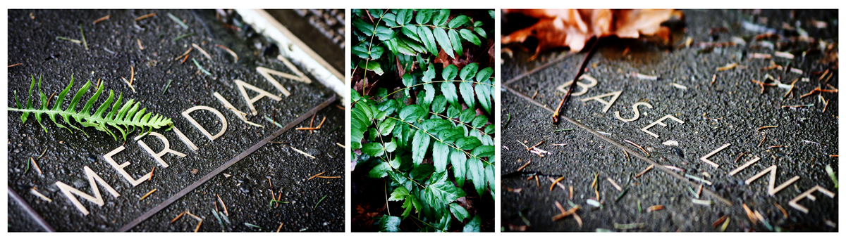
Photos from the Willamette Stone in Portland, at the intersection of the Willamette meridian and Willamette baseline.
![](https://cdn.myportfolio.com/44b8374c-5758-4aa0-b67e-1a860c4711e6/6fb34d8b-9f4e-40b5-9ffb-8669122c5b6e_rw_1200.png?h=ace97d800b565f8338c2177a154e86e1)
![](https://cdn.myportfolio.com/44b8374c-5758-4aa0-b67e-1a860c4711e6/a73acf1d-d2df-4143-9e05-90199eb93883_rw_1200.png?h=7556c51cd889380e63a138944089d334)
![](https://cdn.myportfolio.com/44b8374c-5758-4aa0-b67e-1a860c4711e6/29450958-4bc5-486d-a63a-886bdda69d61_rw_1200.png?h=f5579b5fa6eb792c7ca437edc4086af4)
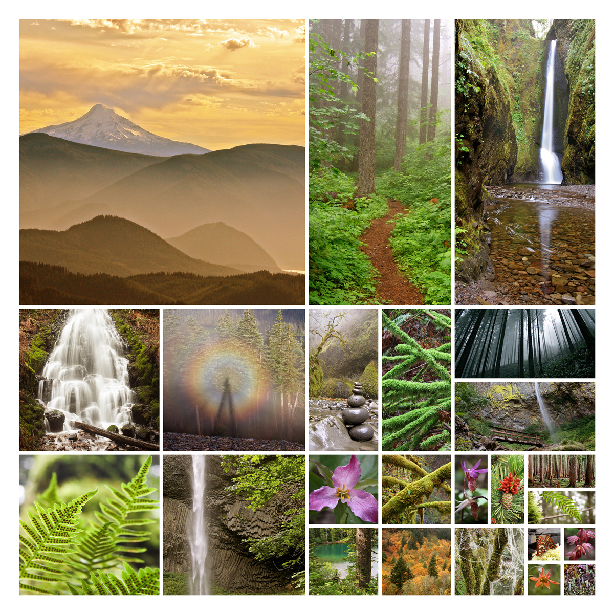
The three photo collages above are in the framework of the township and range surveying grid.
![](https://cdn.myportfolio.com/44b8374c-5758-4aa0-b67e-1a860c4711e6/f961eea2-7793-479a-b803-493572c4c8f7_rw_1200.png?h=057c0b2ba47191e7402d6aee65944af2)
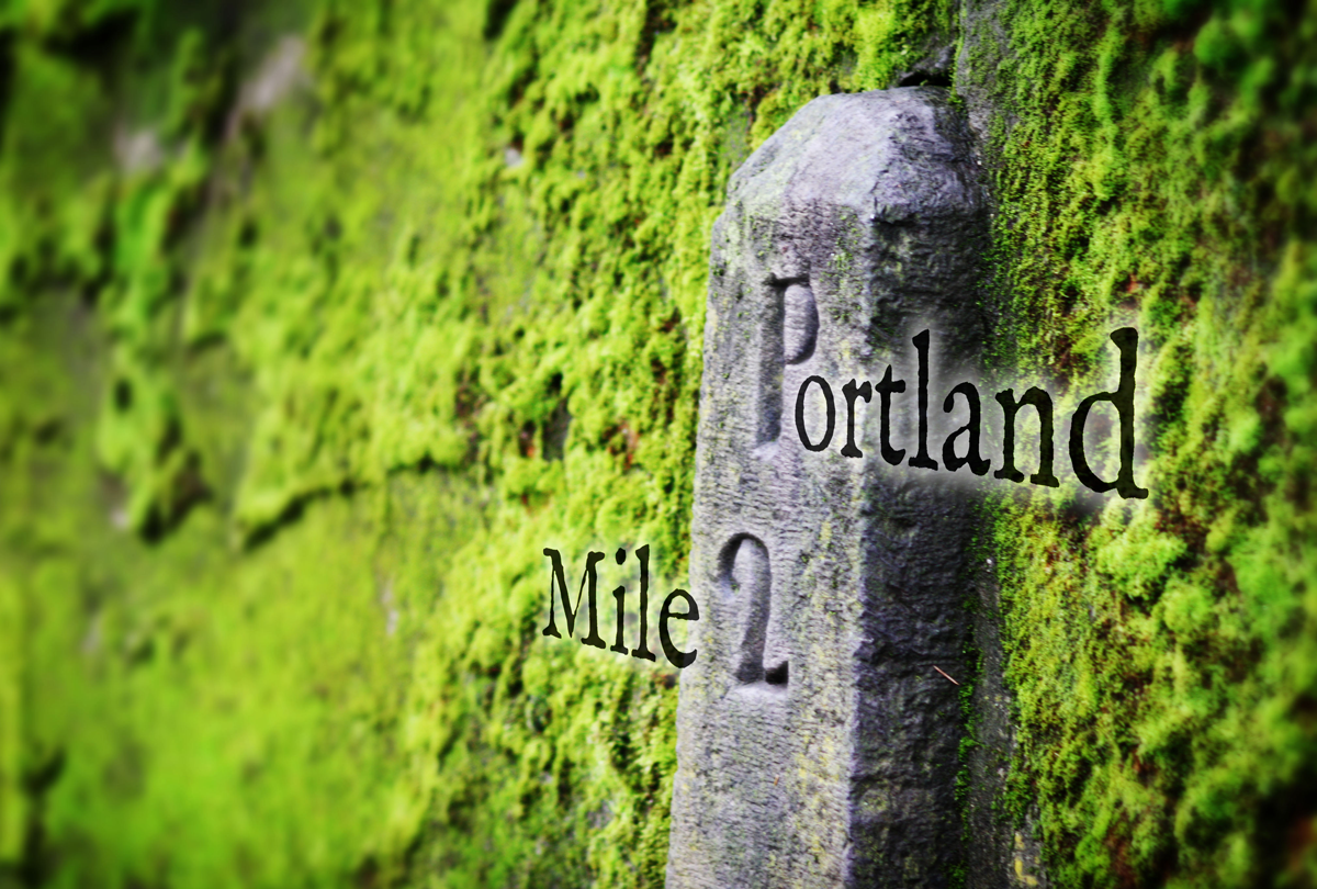
Willamette Baseline mile marker embedded in a wall at Lone Fir Pioneer Cemetery in Portland